Mission accomplished
27 April 2025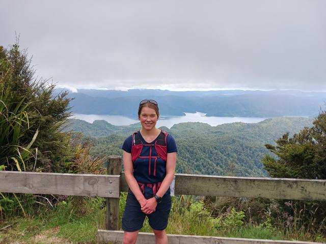
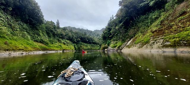
It has been an awesome summer exploring the country across the Great Walk tracks!
In August last year, I had the idea to run all of the Great Walks over summer, which would overcome the issue of booking huts and finding time amongst life's commitments. It has been such a neat experience, and I have learnt so much about trail running, logistics, and endurance sports (from overtraining syndrome to the ease of not thinking about anything for 10 hours).
A very biased list of the tracks:
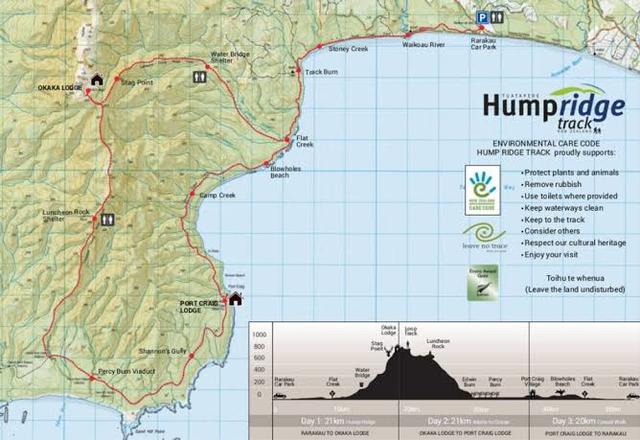
Most logistically challenging - Heaphy Track
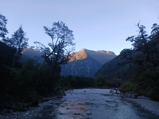
Coolest hut/campsite - Oturere campsite
Most likely to roll an ankle - Tongariro / Routeburn
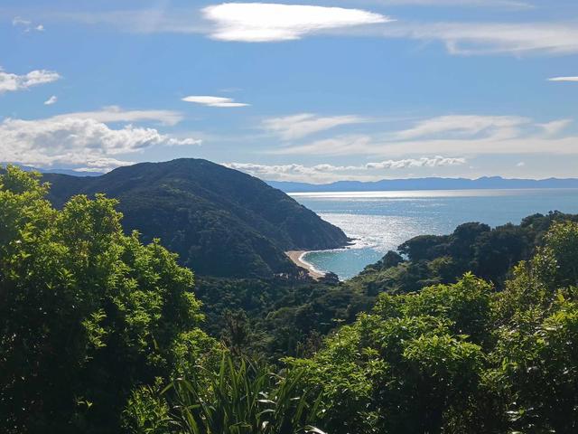
Most wildlife - Abel Tasman Coastal Track
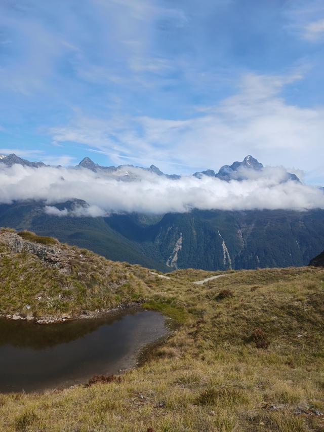
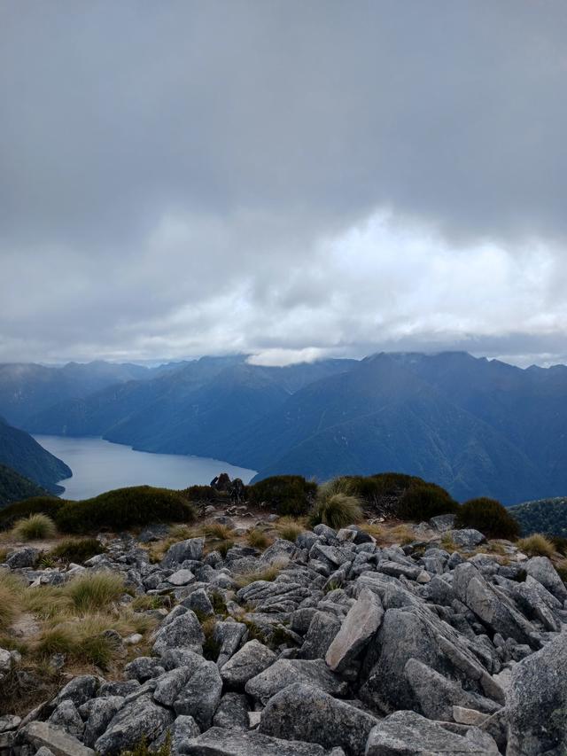
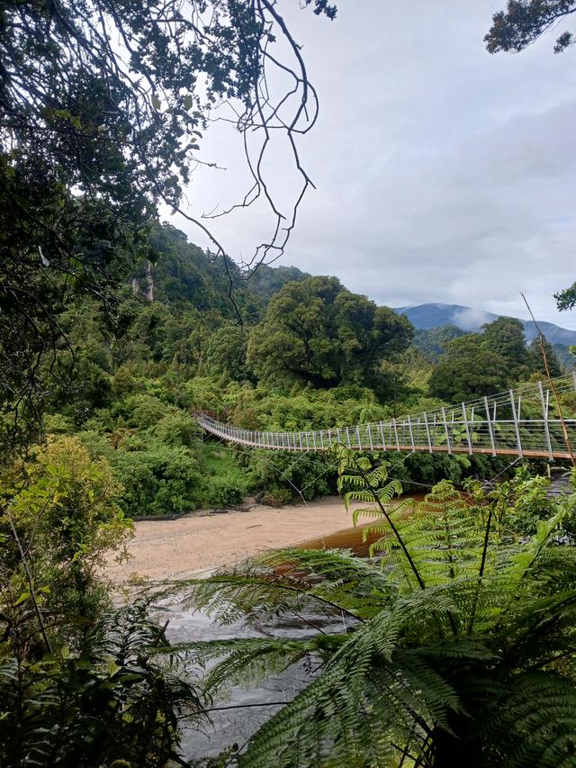
Most recommended tramp - Kepler
Muddiest track - Rakiura
To pick the best track was very situational dependent on what number run it was, weather, fatigue from previous runs and my exposure to the region (all of them are awesome). My favourite would have to be the Paparoa Track. It was in an awesome (and personally unexplored) area of the country, with great elevation profile, lovely weather, a new fueling plan, and awesome company.
Some trail running thoughts:
Biggest tip - walk the hills
Best snack - juicies
Favourite piece of kit - strapping tape
How to train - just run (all weather, all terrain, all times of day, all moods, all energy levels).
Thank you to everyone who has supported me and the Rescue Helicopter Trust. A special thanks to my parents, sister, family and friends for making it possible.