Back to page

Wellington Perimeter Pilgrimage

  • Day six: Island Bay to Queen's Wharf

      8 March 2026
    Main image

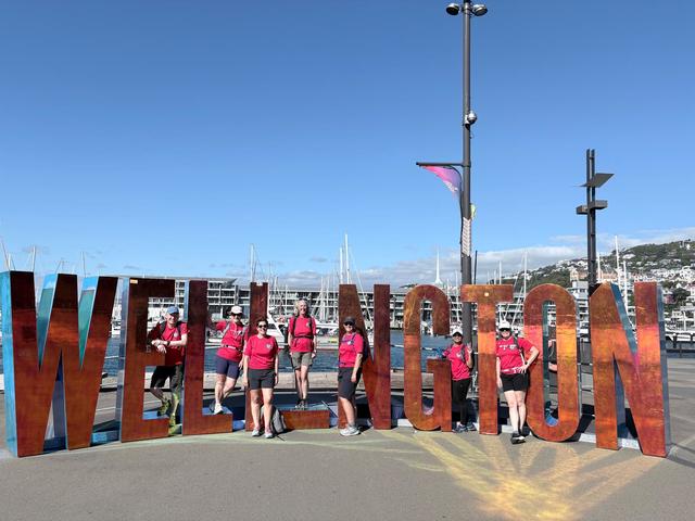
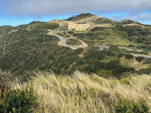
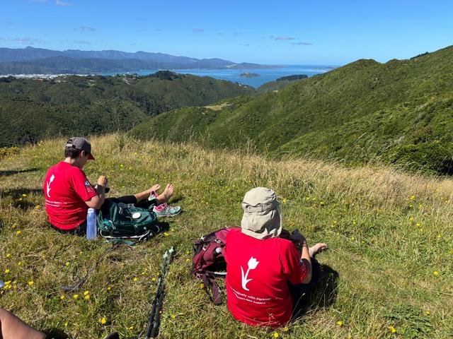
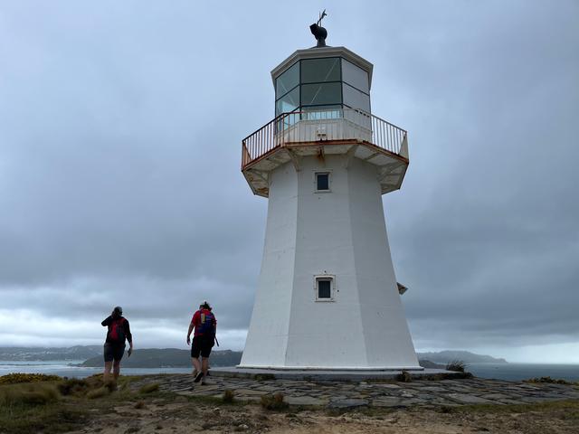
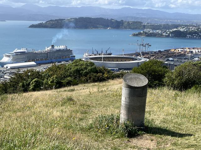
    What a way to finish this little adventure. Perfect weather for walking. A mostly flat stroll around the beautiful Wellington bays, sparkling water, sandy beaches, plenty of water activity to watch - everything from swimming to sailing and kayaking. Spectacular views from the heights of the Eastern Walkway. Multiple refreshment stops including coffee, pastries and icecreams. Oh and the minor matter of saving the longest day until the last! But most of all, great company and conversation from start to finish.

    And finish we did - back at the East by West Ferry berth where Helen and I started out just over a week ago. Back then, bright eyed and bushy tailed, this walk was just a concept, and a whole lot of hope. Walking in to Queen’s Wharf after six days and almost 130km I was reminded of how it felt walking in to St Peter’s Square in Rome after 2,400 kilometres on foot. Surrounded by thronging crowds who had no idea and little concern for our achievement, none of it mattered. We knew what we had accomplished. And the prosecco went down just as well today.

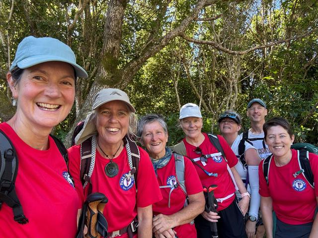
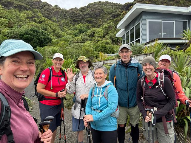
    Thanks to all my fabulous friends who joined me along the way - expressing interest, contributing insights, helping with route finding, mapping and navigation, joining training walks, providing encouragement - and being part of the inaugural pilgrimage for one or more days.

    Thanks also to everyone who has followed along, provided support and encouragement - there is still time to donate to the cause.

      0 comments  |  Login to leave a comment
  • Day Five: Makara MTB Park to Island Bay

      8 March 2026
    Main image

    After a weather-enforced pause, it was a bit of a struggle to regain momentum, but three of us made it to the start line in Karori where we had left off just a few days ago.

    The climb up Wright's Hill via the zig zagging Salvation trail is a perfect warm-up. Knowing that the rest of the route today would be exposed to the elements, we made the most of the cool, calm silence under the trees.

    After a brief pause to admire the view from the top, it was onward via the Zealandia Fenceline headed South. I recently discovered a little side path that provides a link to the private SouthernThread Road, thereby avoiding an unnecessary switchback to the wind turbine.

    Reaching the top of the road, I was looking forward to joining the mostly flat and winding Barking Emu trail through bush, but wait - closed for track maintenance! So it was back to the main Hawkins Hill road and more stiff climbing toward the Radome, under pressure from the increasingly blustery northerly.

    Given the wind strength, we made the unanimous call to take the tip track option down to the coast rather than the longer Red Rocks track with 40-minute walk along the beach at the end. Though the tip track is steep and exposed, it’s bearable when the alternative is full-body sand blasting.

    All that remained was a stride down Happy Valley Road to Owhiro Bay and the last stroll along the coast to Island Bay, buffeted by the wind.

    Tomorrow, weather permitting, the last 30km await.

      0 comments  |  Login to leave a comment
  • Day four: Johnsonville to Makara Mountain Bike Park

      2 March 2026
    Main image

    Nine of us set off from the Waitohi Johnsonville library complex, at a jaunty pace.

    The benefit of the stiff initial climb is the superb views from the heights, shared with the grazing cows and sheep. I do love the folds of the hills up here as you look out across the Ohariu Valley to the South Island.

    Largely exposed along the ridge from Mt Kaukau, you’re vulnerable to the elements but the views are unsurpassed. For the first time, at roughly the halfway mark, we could see the pilgrimage start and end points - and most of the circuit in its entirety. Motivational.

    I do love this track but it is insufferably undulating in terrain - as soon as you go down there’s a matching climb back up. And so it goes for some 16km.

    After lunch in the sun, the legs did not want to keep moving, but there was the Skyline to finish - and then the small matter of Makara Peak!

    The zig zags of the T4 shared mountain bike and walking track are well graded and make it easy to conquer the climb at a reasonable gradient. It helped to be met along the way by two fellow ‘pilgrims’ who had come in from the end to accompany us to the finish line.

    At the top, a piece of 'magic slice' was called for, before we upped the pace for the final downhill stretch, enjoying the cool green of the native bush and the call of tui on the gentle zig zags of the Lazy Fern trail.

    The legs are still working, the heart is full and the motivation is high.

      0 comments  |  Login to leave a comment
  • Day three: Petone to Johnsonville

      2 March 2026
    Main image

    Meeting at Petone Station, a quick walk took us to the Cornish Street entrance to Belmont Regional Park and a pleasant walk up the valley beside the stream, water sparkling in the sunshine. If Wellington Harbour is the mouth of Maui’s fish, this is the throat - visiting Māori used to make their way up here on the hunt for food.

    Eventually we reached the poetically named Baked Beans Bend for a snack break with the cicadas.

    A left turn towards Horokiwi Road brings the delight of a stroll along quiet leaf-strewn paths on up through the bushclad valley. I suspect many people don’t drop down into this section but it’s well worth it. The 13 creek crossings add to the fun.

    Then, a stiff climb up before another welcome pause to soak up the spectacular view.to the harbour entrance - a very tangible reminder of how far we have come from Baring Head - and how far we have to go.

    After a flat walk along the gravel Horokiwi Road, we turned down through a gate onto a grassy trail following a fibre-optic cable access way. Across private land with right of access, this is the missing link between Petone and Johnsonville, popping out in a field at the far end of Grenada Village.

    All that remained between us and coffee was 4km of road walking through the back streets of Paparangi, past Seton Nossiter Park and down to Johnsonville. Physically I’m holding up, but starting to feel the cumulative fatigue of early starts and long days.

      0 comments  |  Login to leave a comment
  • Day two: Eastbourne to Petone

      2 March 2026
    Main image

    Uphill from Bus Barns at a steady pace on day two with six fellow 'pilgrims', I was reminded why this is only the second time I have done this walk. This section of the ‘perimeter’ is beautiful but brutal with its relentless climbing up to and along the ridge line for 15 of the 22km.

    Beautiful it is though, and well worth it for the sneaky views to the harbour, the lush native bush, flora and fauna. Birdsong and an orchestra of cicada accompanied us. We saw a dead possum successfully trapped. I’m not normally a big photographer of plants but the flowers and fungi were stunning, with knowledgeable friends on hand to identify them. Glorious.

    After the storm, there was significant damage along the trail with trees and branches down and leaf litter strewn widely. The rangers and regional council contractors were clearly already well on top of it but still had their work cut out for them. Fortunately nothing was impassable.

    After a quick lunch stop the relentless climbing continued anew on narrow tree-rooty tracks following the well placed orange markers along the ridge. ‘Are we there yet?’ was a regular refrain.

    Finally, we did reach the end of the ridge line - only to have 7km of road walking to tackle down Wainuiomata Hill, through Seaview and along the beachfront to Petone. I do love the street art though. And at the end we were rewarded - and inspired - by a 360 degree panoramic view of our route, and very tangible evidence of our progress to date.

      0 comments  |  Login to leave a comment
  • Day one: Baring Head to Eastbourne

      2 March 2026
    Main image

    A short boat ride from Queen’s Wharf to Day’s Bay left time for a coffee at Chocolate Dayz Cafe before five of us started out from Eastbourne heading towards Baring Head to accommodate the strong northwesterly, more pleasant as a tail wind.

    I had been expecting this section to be long, brutal and monotonous - the Meseta of the Wellington Camino - but not so! What we got was a fascinating walk on mainly gravel tracks along the coastline with plenty to look at from the ever-changing harbour views to the coastal flora and fauna.

    Taking the hill trail just before Pencarrow meant we missed the lower lighthouse but got the benefit of a short climb, the spectacular views from the upper lighthouse (the first in New Zealand) and a short detour around Lake Kohangapiripiri, where we were able to spot some rare dendroglyphs - early Maori markings in the bark of Karaka trees, a little like cave paintings.

    Lunch at a perfectly placed picnic table then on and up to Baring Head over river estuary, past a shipwreck and an early pa site.

    At the unmanned lighthouse, the lightkeeper and assistant’s houses can be rented through Greater Wellington. They look very cute in luxe retro 1950s style, restored with the help of the volunteer friends of Baring Head.

    Thanks to Greater Wellington, local iwi and private landowners for access to this remote and beautiful spot - and to the local ranger, a friend of a friend, for kindly making our reverse walk possible by giving us a lift back to Eastbourne.

      0 comments  |  Login to leave a comment
  • Final training walk completed

      22 February 2026
    Main image

    A fantastic walk in gorgeous weather and great company, making sure I’m hill fit for the pilgrimage.

    From Khandallah up Mt KauKau and back to Island Bay on the Northern, and City to Sea Walkways via Ngaio, Wadestown, Thorndon, Kelburn, the Aro Valley, Mt Cook, Newtown and Berhampore.

    In my head it was do-able, which it was. But at Berhampore, after 22km up and down like a rollercoaster, I opted for the direct road route home rather than more climbing up and along hill trails! Hmmm, how am I going to cope with back-to back days of 25km on average?!

    After setting out at 7.30am to catch the bus and train my body is telling me it was a long day. Coffee and pastries were had. Lots of tree trunks were climbed - branches down everywhere after the recent storms. Just a few sections completely impassable and closed.

    The legs and feet are worn as I write this the next day. But the heart is full. Last training run for the Wellington Perimeter Pilgrimage completed - starting Thursday. 🙏

      0 comments  |  Login to leave a comment
  • Outline itinerary for the Perimeter Pilgrimage

      11 February 2026
    Main image

    Thank you for supporting this 150km ‘pilgrimage’ around the ‘perimeter’ of Wellington. Wondering what our route is? Here's our outline itinerary.

    On day one, we'll experience the wild southeast harbour coastline from Baring Head Lighthouse to Eastbourne walking on coastal roads alongside the stony beach, with uninterrupted views across the harbour entrance and out to Cook Strait. We'll break the flat walking to climb the headland for views of Lake Kohangapiripiri and a visit to the upper Pencarrow Lighthouse.

    On day two, we'll enjoy the quiet beauty of the remote Eastern hills as we trace signposted and waymarked paths up and along the ridge from Eastbourne to Wainuiomata Hill and down through back streets via Seaview to Petone.

    On day three we admire the native New Zealand bush as we trace the throat of Maui’s fish, following lesser-known trails on public and private land to connect from Petone to Johnsonville via the Belmont hills.

    On day four, admire the views from the tops as we trace the spine of the hills along the skyline from North to South.

    On day five, admire the stunning 360-degree views over Wellington and across to the South Island as we track our way up and over the hills and down to the South coast.

    On the final day. soak up the harbour views as we bay-hop our way around the Southeast coast, circumnavigating the Miramar Peninsular and tracing the harbour back to the city, closing the loop where we started out six days ago.

      0 comments  |  Login to leave a comment